As never before, humankind has many tools at its disposal to make a difference when it comes to improving social conditions and tackling the status quo. One of these tools are maps. Map-making, when done it in a critical and cooperative fashion, can lead to emancipatory processes for communities at local and global levels. It then becomes a form of resistance, it questions how (public) space is conceived and shows how power affects the representation of reality.
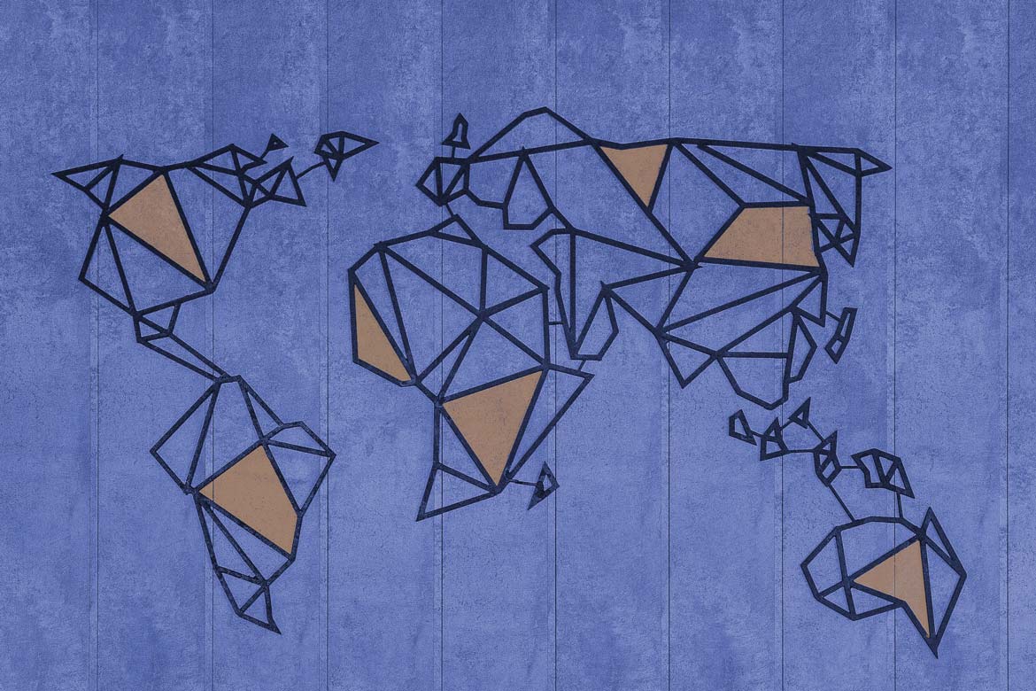
For centuries, maps have been tools that served human beings as an idea of how the planet looked like. Gerardus Mercator was a Flemish geographer and cartographer who, in 1569, designed a world map with a new kind of projections for navigation that are still used nowadays – yet, it has also been demonstrated how shapes and sizes of each country on the Earth are basically distorted. Did you know for instance that the whole African continent can include USA, India, China and even more countries within itself? If you are more curious about that, check out the true sizes of our beautiful planet.
In any case, we were talking about maps, weren’t we? Maps started being collected in books known as atlases, named after the Greek Titan Atlas, who has also been credited to be a philosopher and astronomer, and who was punished by Zeus to bear on his shoulders the whole weight of the heavens – it must have been such a burden! Mercator believed Atlas to be the first geographer and, since he used to produce a huge amount of maps, in 1595 he decided to publish some of them in a book that he entitled “Atlas”, as a form of reverence to the mythological figure.
Since then, maps have been a symbol of portrayal of reality. At first produced by a few people on behalf of authorities and power holders, maps became products of the given true knowledge – thus a sort of ramification of the hegemonic view of the world. Then, during the 19th century, with the rise of the nation-states, geography entered the set of school subjects. Atlases turned out to be widespread items, even commodified, shaping the worldview of children and pupils, as new citizens of their own societies.
Are atlases truly objective and neutral?
A critical answer, with a pinch of common-sense too, would be: no. Maps can be tools that can shape the reality. Think of the exploitation of human beings (colonialism), appropriation of lands (establishing new borders), deterioration of public space in favour of private control. In the hands of a few who hold power, maps turn into instruments of distorted representation of reality.
The goal of this article is to let you dive into the topic of critical map-making having as a reference a book published in 2018. It toured in the past months already, and it has been presented again here in Berlin to an event I have attended this summer. It is about a collection of experiences translated into alternative/counter-cartographies – aka, map-making tools. A collection of maps… that are not maps. This book is Not-an-Atlas.
Let’s briefly rewind the Not-an-Atlas tape
A group of critical geographers, researchers and activists, bound by ties of friendship and interests, decided to set up a collective called orangotango in 2008. The collective has German roots but it started soon to develop a network involving also fellow cartographers from other countries in Europe and South America.
What drives the collective is the idea of questioning power, space and the representation of reality through map-making. By doing so, the researchers explore ways of resistance whose ultimate goal is to propose alternative solutions to reach a social change. Those solutions can be designed through the dissemination of political, artistic and educational actions, such as workshops, publications, collective gatherings of local communities and so on.
Collective efforts, self-organized practices, shared resources that can be reappropriated and reproduced, free fruition of the products… something that recalls what I have actually written in my last piece for NION, too, where I brought the readers on the planet of peer-to-peer and the commons.
Three years of collaboration
In 2015, orangotango decided to open a Call for Maps – maps as well as everything revolving around the production of critical and alternative mapping. The amount of responses outnumbered the initial expectations: 150 contributions reached the group. What followed was a period of three years over which discussions, constant collaboration and learning, selection and editing of the material, led to the design of the Not-an-Atlas book: a collection of counter-cartographies from diverse parts of the globe, different struggles and ways to approach the space and the surrounding reality.
If it’s Not-an-Atlas, what is it then? Yes, a number of maps have been gathered in a book – so far the idea of an Atlas is still dancing with our brains. However, those maps are not like the ones we normally browse at school, university or on governmental documents. In the Not-an-Atlas book, maps are conceived as means that outgrow the frames of the mere representation of reality(ies). Geographers and activists behind the production of those maps aimed to visualize their own spaces in relation to their political struggles. Maps become tools that help navigate social injustice, for instance, and explore ways to counter it; maps can shed light on territories belonging to indigenous people, who are constantly threatened by governments and corporations; maps are useful to have a picture on how local and/or marginalized communities are protesting on given issues regarding their districts or even cities. And the list goes on.
Counter-cartography is not something new
Since the ‘20s of the 20th century critical cartography has made its way. At first, artists from the Surrealist movement began to criticize and challenge the Eurocentric view of the world. In the second part of the century, the idea of “mapping back” arose within a post-colonial context in North America as well. The contribution brought by indigenous communities and political organizations has been meaningful for the history of counter-mapping. They started claiming back lands through map-making, highlighting their rights and territories. Those indigenous practices of cartography spread in other parts of the world too, thus helping widen the phenomenon. Furthermore, in the ‘70s and ‘90s, the counter-mapping efforts of two artists in particular, respectively Öyvind Fahlström and Mark Lombardi, has been fundamental.
The experiences shared in Not-an-Atlas bear along the past knowledge of alternative map-making crafted in art, but also in fields such as political activism and academia. In this sense, reading maps isn’t only a simple critical deed; rather, maps turn into tools that are understood as a starting point for a political analysis of the space, natural environment, peoples’ rights and social norms. As a consequence, new maps are produced taking into consideration the pool of these political factors.
Structure of the book and some tangible examples of counter-cartographies
The heterogeneity of the techniques, practices and contexts embedded in the counter-maps gathered in Not-an-Atlas has been a strong component when it came to designing the book. The whole work that then took the shape of Not-an-Atlas has been possible thanks to the collaboration of a different range of people, some of them having formal cartographic training, some of them lacking it; nevertheless, all the differences including human skills or original collective ways of map-making turned into the real strength of the book.
Not-an-Atlas has eventually been conceived as an open and diverse global collection of counter-cartographies, a collection that aims to be a tool for inspiring other groups or communities to fight, resist and get better social conditions. The structural diversity has been translated into different groups of maps and it is reflected in the way how the chapters have been outlined: cartographies have been clustered into specific themes, due to the causes they are addressing.
Safe Passages
Counter-maps, as expressed often so far, can meant to be tools for action: in the first chapter, for instance, readers can be informed on the work carried out by Alarmphone and Watch the Med teams. Alarmphone is a telephone hotline available for all those who are in distress in the Mediterranean Sea while trying to reach the European coasts – the reference concerns migrants who do not hold a European visa, so they are deemed to be “illegal”. Watch the Med is a linked project, an online monitoring platform where migrants’ routes are mapped in real time through maps, digital tools and cartographic knowledge. Both these projects have the goal to protect migrants’ human rights and to inform the coast guards and rescue authorities about the danger of crossing the sea in very poor conditions of safety.
Iconoclasistas
Another sample revolves around the fact that maps can tie networks, and that is the case of an Argentinian duo called Iconoclasistas. They bring together creativity, graphic art and collective research. They organize workshops and meetings with local communities with the idea of strengthening ties of solidarity and triggering practices of resistance and transformation. Between 2008 and 2010, a series of workshops about topics such as the depredation of the common goods has been held in some cities in Argentina.
A very interesting counter-cartography emerged, portraying the situation of open-pit minings in some districts close to the mountain chain of the Andes. It is showed how big transnational mining companies affect negatively the life of inhabitants, exploit water and other natural resources, pollute the air and are detrimental to the overall ecosystem – all of this occurs thanks to political tolerance and poor general regulations and norms.
HarassMap
Is it possible to build political pressure through maps? In the so called chapter some answers are offered. A cartography in particular did catch my attention: it is called HarassMap. It is a powerful tool and platform that tackles sexual harassment in Egypt. Everyone, being a witness or a victim, can directly report an incident and/or share a story of harassment on the online platform. Through location technologies, the system identifies not only the position of the event, but it also includes other information shared in the reports, for instance the date/time of the incident, a written description of it, the type(s) of sexual harassment. This platform is so paradigmatic and it can inspire similar systems around the world. On the one hand it is about mapping incidents and their relative reports, but on the other hand it also offers ways to support the victims by providing information such as access to free legal services, psychological counseling, a guide to sexual harassment and ways to take action, and much more.
Homelessness
A further interesting project concerns homelessness in Newcastle-upon-Tyne. From Egypt we directly fly toward the UK, where a research study, in collaboration with 30 single homeless people of the city of Newcastle, has been carried out in 2014. “Imaging Homelessness in a City of Care” can be described as a participatory map-making process with homeless individuals who had the chance to show their spatial subjectivity, as the relative chapter goes. The project has three main objectives: give a voice to those homeless people in order to let them share insights on their own living conditions, and let them visualize their perceptions of space; undertake a cutting-edge research methodology on map-making; address public opinion on the homelessness phenomenon.
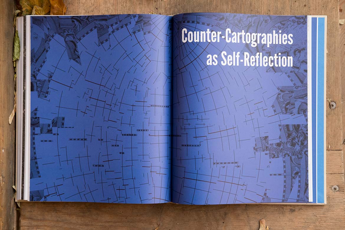
The Not-an-Atlas offers a diverse range of experiences and approaches that are disseminated through other clusters/chapters as well: it is explained how, for instance, maps can be means of critical education and how enthusiast cartographers can learn in a self-organized way, improve their skills and implement them. It is shown also how map-making can trigger processes of self-reflection. You can download or buy the book here.
Atlas may still be holding on his shoulders the whole heavens; nevertheless, every time a group of human beings is able to fight and win their own social struggles, I’d like to think that the heavens’ weight gets less heavier, and a smile peeps out of Atlas’ face.
Header picture by Marjan Blan on unsplash, modified by NION.
Article pictures by Not-an-Atlas under CC-BY-4.0 license.
Thank you <3